blah blah blah
Knights Pond
Length: 2.8 miles out-and-back with loopDifficulty (click for info): Beginner
Elevation Gain: 140 feet (+100 feet on return)
Rating (click for info): 5/10
Elevation: 626'
Driving Directions:
Trailhead and parking area are on Knights Pond Road in Alton, NH. From Rt. 28, 7.3 miles north of the traffic circle at the junction with Rt. 11, turn east onto Rines Road. Continue 1.6 miles, then turn left onto Knights Pond Road, a narrow and rough seasonal road. You'll arrive at the end of the road, with ample parking close to the trailhead and further back in a clearing, in half a mile. Click here for a Google map.
Trail map
About the Hike:
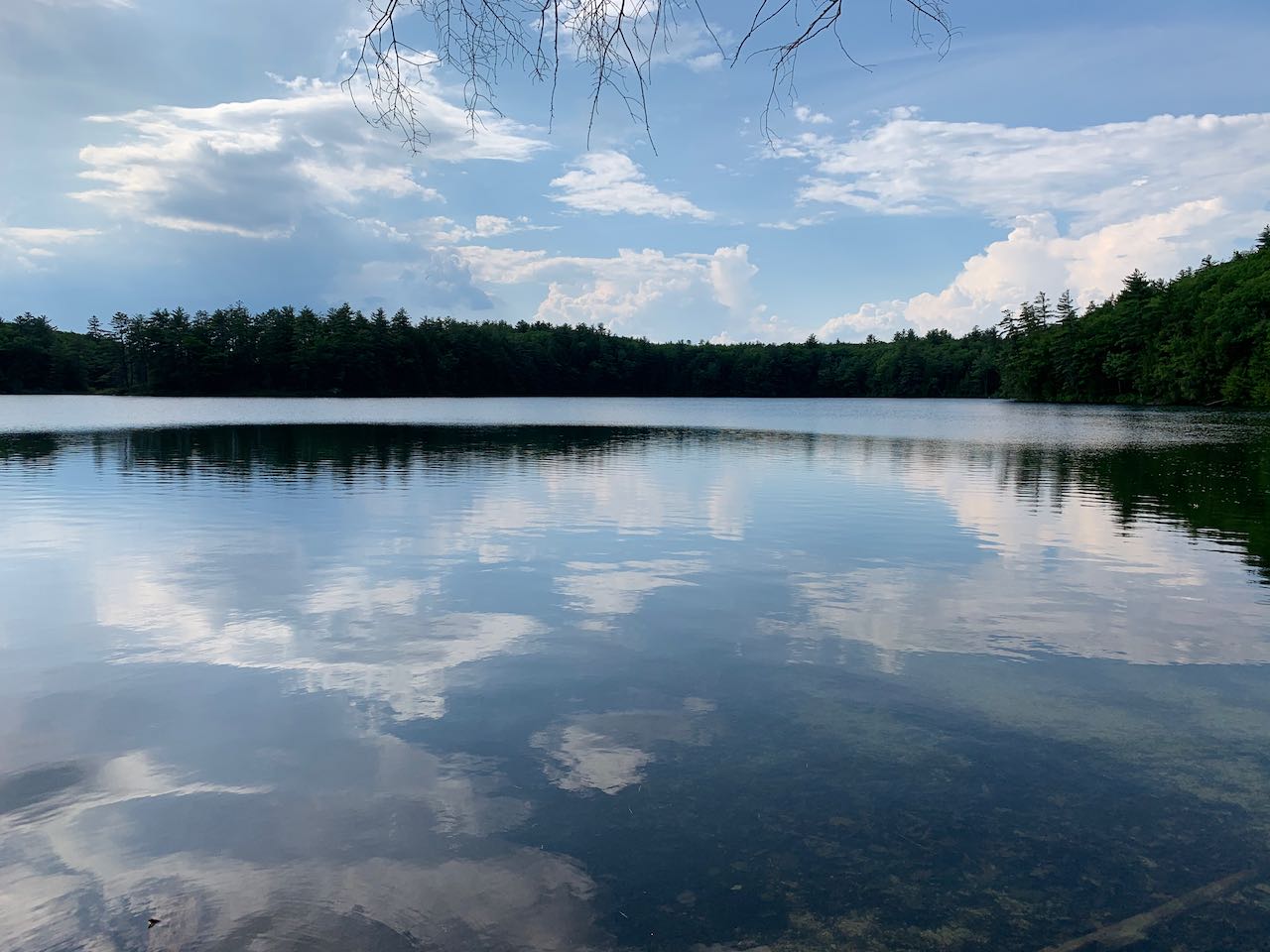
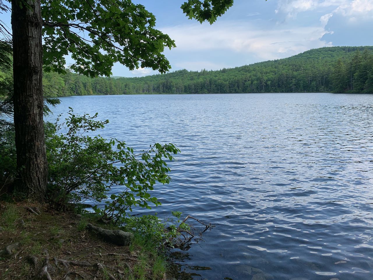
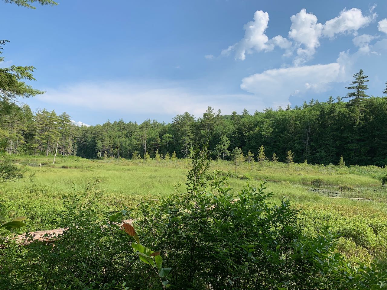
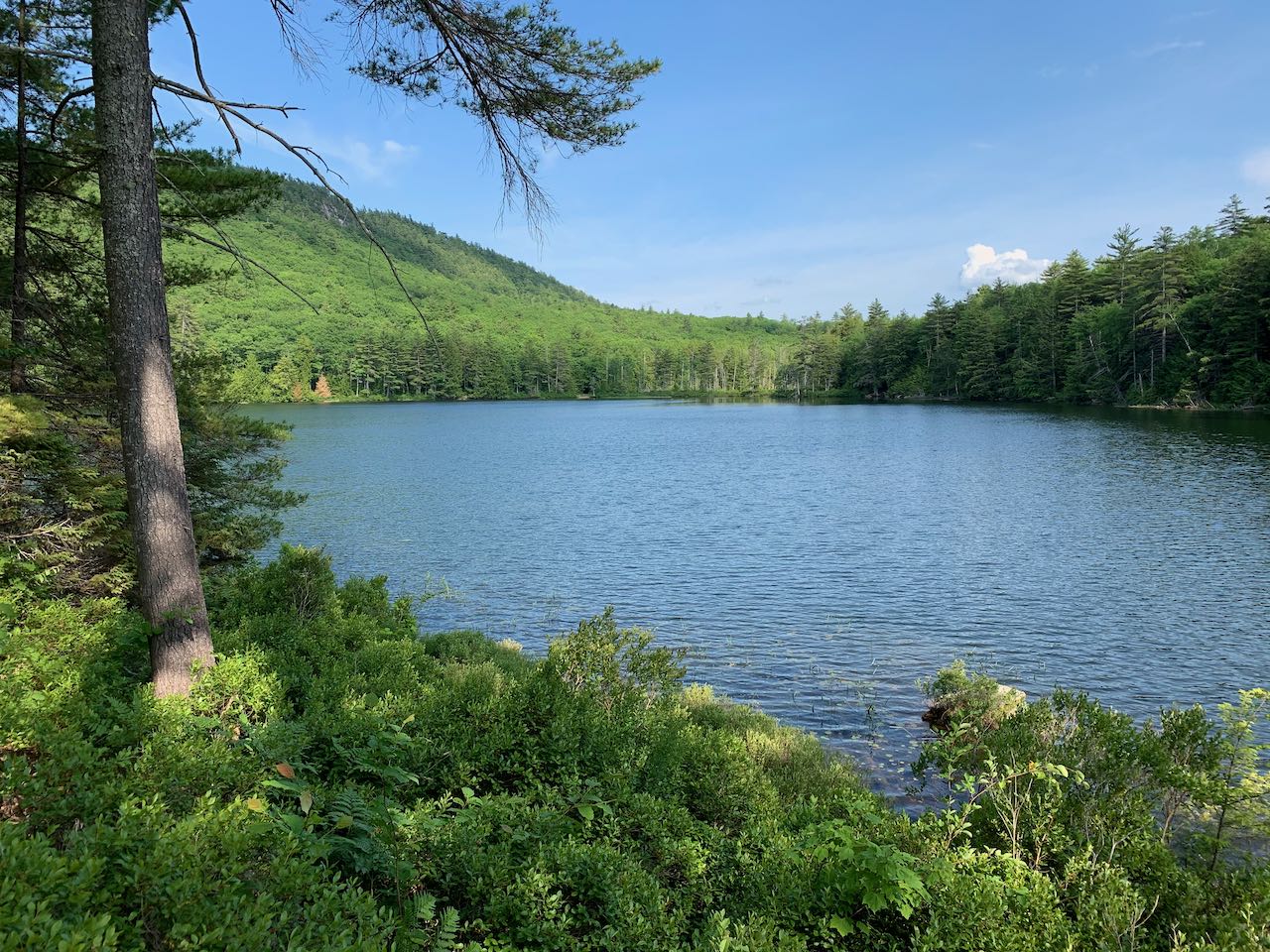
Despite being minutes from Wolfeboro and Alton, this LRCT conservation property has a backwoods feel. Knights Pond is nestled amongst a grouping of low hills on the east side of Lake Winnipesaukee. The property features an easy loop trail that tours the shore of the pond, passing nice resting spots overlooking the water and surrounding hills. The pond features a marshy outlet end as it drains toward Winnipesaukee, which takes up half the loop and provides some change of scenery. Another interesting feature is a narrow peninsula that extends almost all the way across the water to divide it from the wetland.
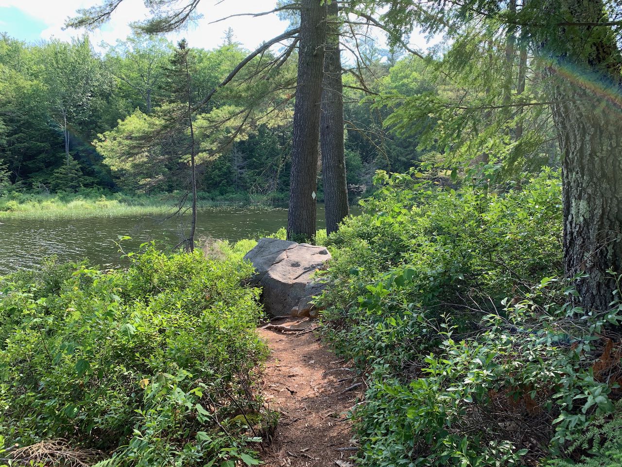
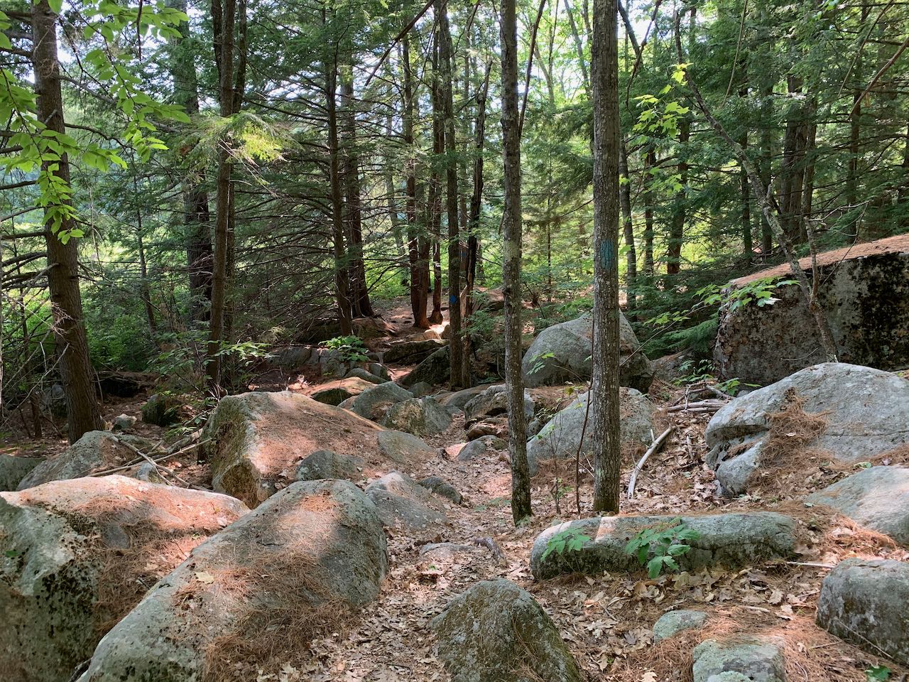
Head down the wide gravel path past the gate and kiosk. A mellow walk through the woods of 0.35 miles will take you down to the southeast shore of the pond, where you have the widest view from the clearing on the shore. The loop splits not far before reaching the pond; you can bear right to complete it in the recommended direction. Across the reflective surface you'll notice the peninsula that divides the open water from the marshland on the other side. The foot trail, marked with blue diamonds, turns right along the shore here. It stays close to the water's edge through low shrubbery and with plentiful views across the pond. It becomes rocky as you approach the north end and round the corner. After half a mile, turn left onto the Peninsula Trail, which brings you out to a serene locale at the tip of the point, overlooking the narrow strait where the pond transitions to wetland. Round the corner and continue 0.15 miles back out to the main trail just ahead of where the side loop split off. Turn left to continue around the pond. The trail passes through a rocky area, then approaches the edge of the marsh. You have a good view out over this starkly different environment, where the open water is hidden behind the peninsula. You'll stay close to the edge for the next 0.35 miles to the far end, where the trail crosses the outlet on a bridge. Making a 180-degree turn to the opposite shore, the trail stays straight along the wetland for another 0.4 miles before you arrive back at the open water across from the peninsula, for a different perspective of the pond with a larger hill in the background. The trail follows the south side of the pond for another quarter mile before pulling away and leading 0.15 miles through the woods, crossing the inlet stream, back to the beginning of the loop.
Printable directions page